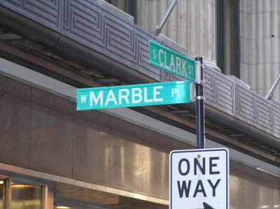
"Unknown Loop Streets #11"... "West Marble Place..."
One of the few unknown streets south of Madison, W. Marble Place runs from Wells to State between Monroe and Adams. There isn't much to this place, it is pretty much an alley...
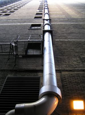
with the canyon effect from old and new high-rises end to end.
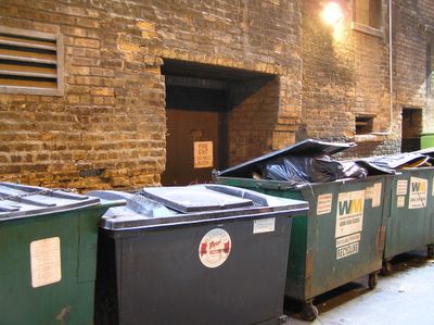
The street is lined mostly with dumpsters (shown here blocking fire exits), and delivery trucks.
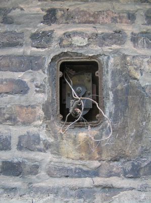
I am guessing this was for a phone to call for deliveries.
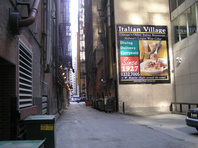
One of the few areas where it gets wider, I am not sure who is actually supposed to see this ad for Italian Village.
This is the eastern end of the W. Marble Place, with the Palmer House across State St. One think I find a bit odd... When looking at the map, why are so many of the streets shown with curves? Perhaps it is from when they were mapped out in the 1870's after the Great Fire.
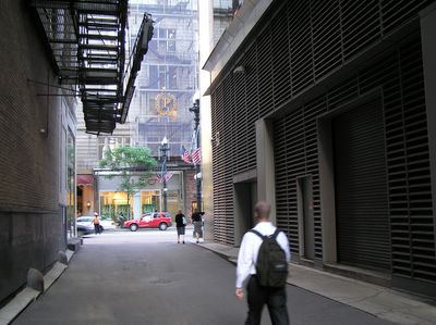

with the canyon effect from old and new high-rises end to end.

The street is lined mostly with dumpsters (shown here blocking fire exits), and delivery trucks.

I am guessing this was for a phone to call for deliveries.

One of the few areas where it gets wider, I am not sure who is actually supposed to see this ad for Italian Village.

This is the eastern end of the W. Marble Place, with the Palmer House across State St. One think I find a bit odd... When looking at the map, why are so many of the streets shown with curves? Perhaps it is from when they were mapped out in the 1870's after the Great Fire.

posted by Devyn at 6:31 PM
![]()
![]()


1 Comments:
I betcha anything that Italian Village billboard pre-dates the structure to its right (the restaurant has been a Chicago landmark since at least my parents' day). Also, people do cut through these alleys e.g. to get to lunch.
As for the curve, I'm not sure I'd really trust Google Maps to give me plat-accurate information, but the streets almost certainly pre-date the Fire. The Loop was obliterated but that doesn't mean that the streets or property lines had to start fresh. Burnt District Map
Post a Comment
<< Home