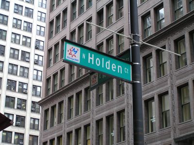
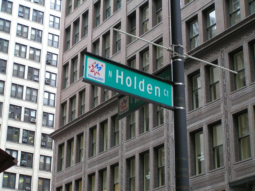
"Unknown Loop Streets #10"... "North Holden Court"...
Not really a court, but this block long street is the only one I know of that isn't named on Google Maps. Running from Madison to Washington between State and Wabash, this street appears as only half a block long on the map (leading from Washington south).
Looking North from Madison, the southern half of the street is covered by a connector between buildings on State and Wabash (The site of the old Weibolts).
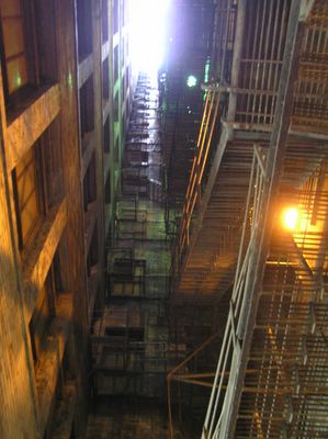
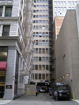
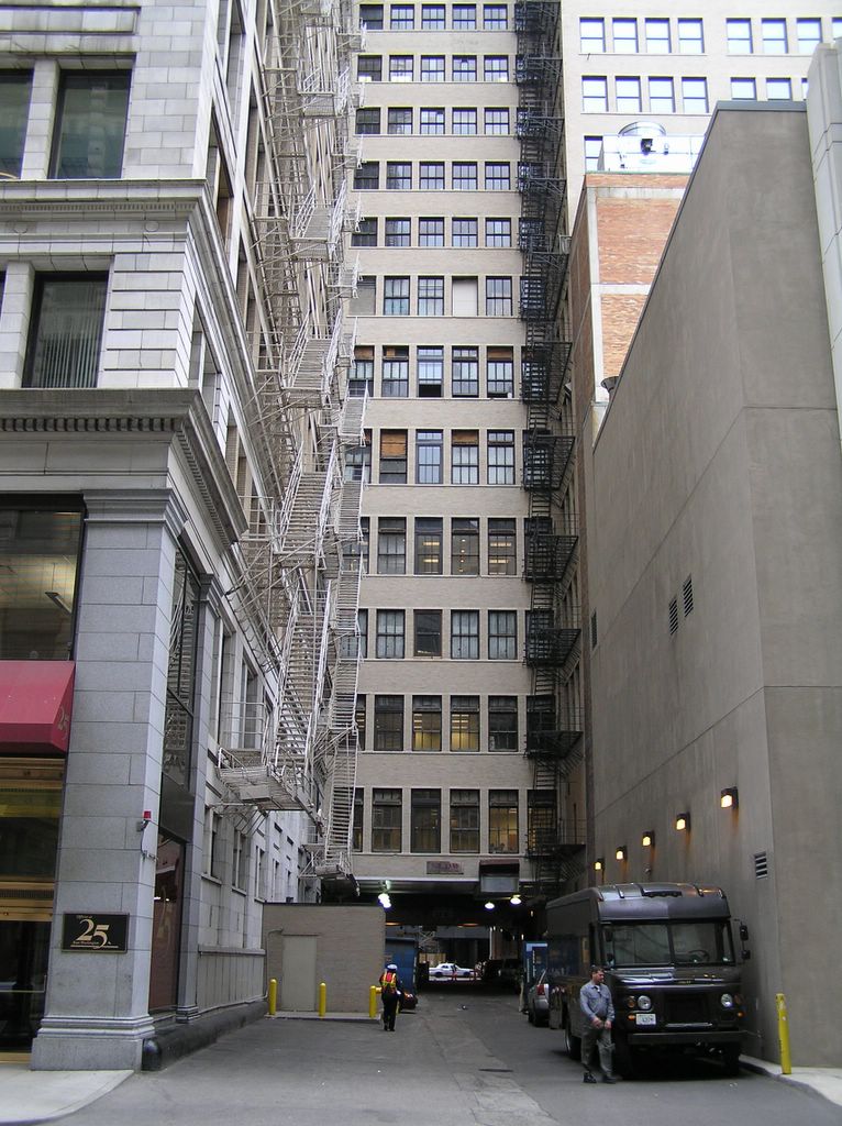
At the center of the block, you can look straight up and see that there are actually two "connectors" between buildings. In between them is this light well. Not much light, but lots of fire escapes.
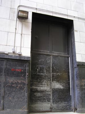
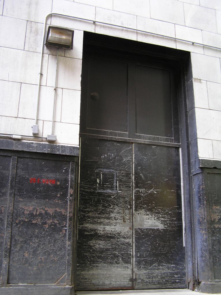
Back door at 25 E Washington.
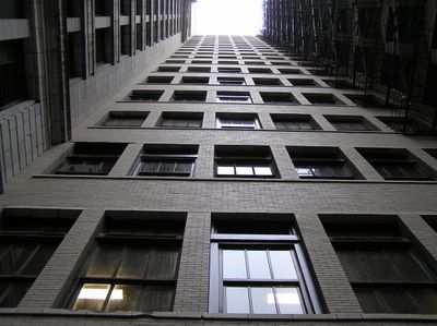
Looking straight up from the middle of the block, one can see that the "connectors" extend all the way to the tops of the buildings.
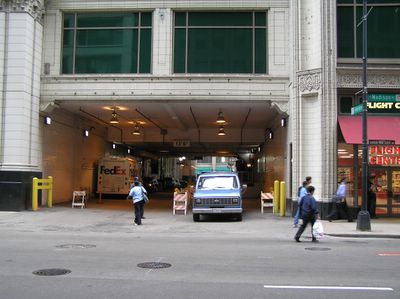
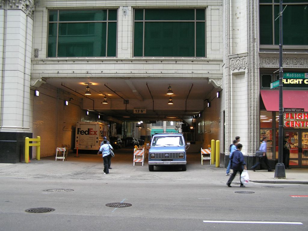
Standing next to Marshall Fields, looking south. Old Navy is to the right. This is the half of the block that shows up on the maps (without a street name).
It was walking along Washington a few weeks back that the mystery of what the name of this street is... I feel a bit stupid since it is only half a block from my apartment. I should have known.

This was a longer than usual post (inspired partially by my feature at Chicagoist) I felt the need to include as many images as possible to show this little street. I want to send a big thank you to Rachelle at Chicagoist for the article.
Looking North from Madison, the southern half of the street is covered by a connector between buildings on State and Wabash (The site of the old Weibolts).
At the center of the block, you can look straight up and see that there are actually two "connectors" between buildings. In between them is this light well. Not much light, but lots of fire escapes.

Back door at 25 E Washington.
Looking straight up from the middle of the block, one can see that the "connectors" extend all the way to the tops of the buildings.

Standing next to Marshall Fields, looking south. Old Navy is to the right. This is the half of the block that shows up on the maps (without a street name).
It was walking along Washington a few weeks back that the mystery of what the name of this street is... I feel a bit stupid since it is only half a block from my apartment. I should have known.

This was a longer than usual post (inspired partially by my feature at Chicagoist) I felt the need to include as many images as possible to show this little street. I want to send a big thank you to Rachelle at Chicagoist for the article.
posted by Devyn at 6:09 PM
![]()
![]()


1 Comments:
no problem, it's a great series!
Post a Comment
<< Home